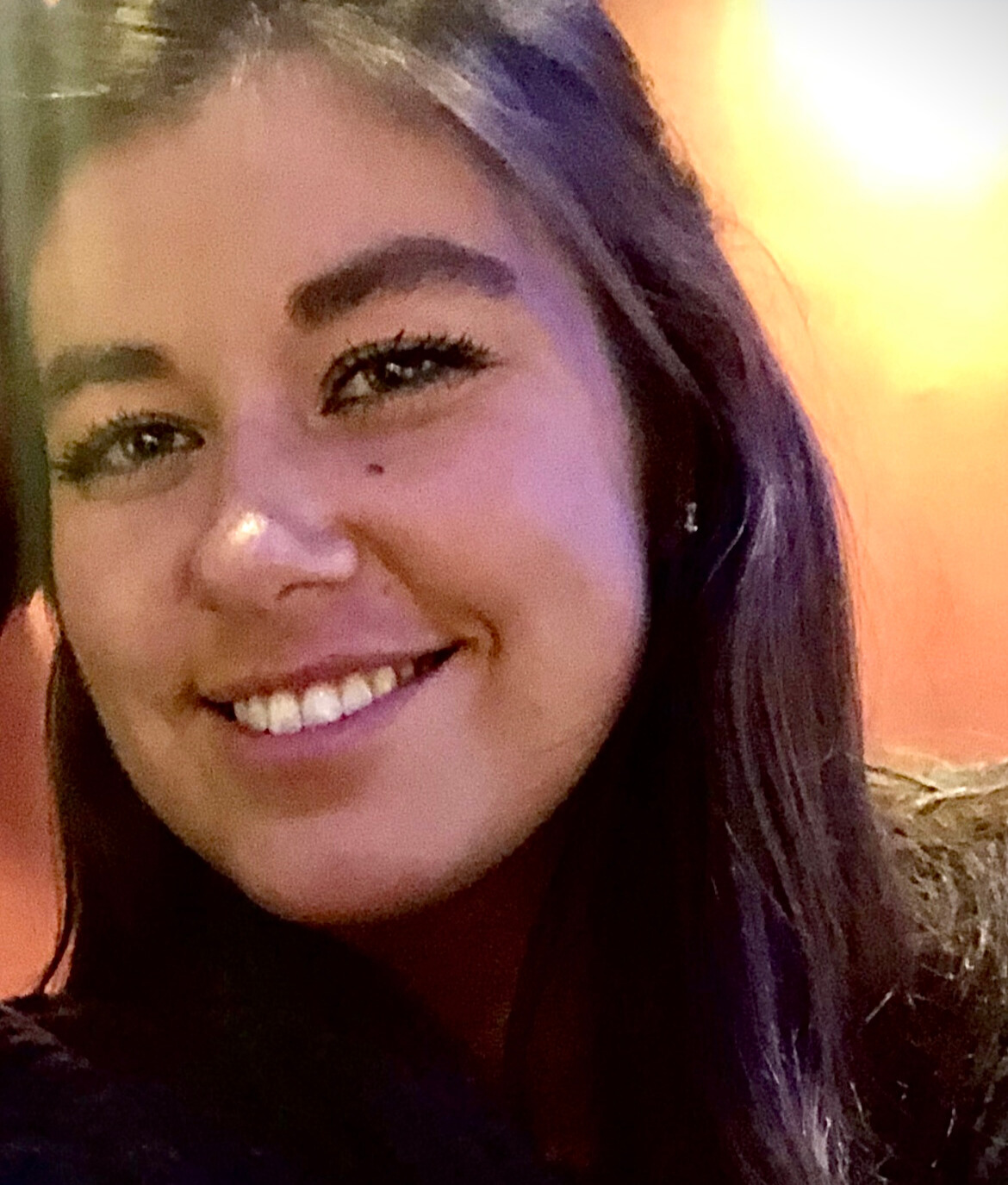
Kelly Brown
Geospatial & Remote Sensing Analyst
We're thrilled to spotlight Kelly Brown, our new Geospatial & Remote Sensing Analyst, actively contributing to several FEMA projects and other key client assignments.
Kelly's foundation in geographical sciences is fortified with hands-on expertise in GIS, spatial modeling, remote sensing, and imagery analysis. Specifically tailored for missions related to disaster preparedness and response, her unique combination of leadership and technical skills promise to be invaluable assets to NLT's future endeavors.
Before joining NLT, Kelly showcased her analytical prowess at Maxar. As a Senior Analyst, she led modeling and remote sensing projects for prestigious agencies like the National Geospatial Intelligence Agency (NGA) and FEMA. Among her groundbreaking works, Kelly played an instrumental role in the development and application of machine learning models for flood detection. The acclaimed Intermittent Water and Saturated Soils (IWSS) and Observed Flood Extent (OFE) models were notable achievements during her tenure. Integrating these with historical imagery, infrastructure data, and land use patterns significantly enhanced the precision of FEMA's flood modeling processes. Her contributions to the development of high-resolution land cover maps, including the Enhanced Land Cover Data, are also noteworthy.
Kelly's academic pursuits saw her attain a BS in Geographical Sciences and a Master of Professional Studies (MPS) in Geospatial Information Sciences from the University of Maryland. Beyond her theoretical grounding, she possesses adeptness in a slew of geospatial software. Kelly's proficiency extends to data science, automation, database management, web application development, and more.
As we embrace Kelly's entry into our dynamic team, we're not just welcoming an individual but a reservoir of expertise and potential. Please take a moment to greet her and get acquainted. We're confident that her contributions will further bolster NLT's commitment to excellence in geospatial endeavors.
