Exploring the Capabilities of NLT's IMPACT Platform
New Light Technologies (NLT) is on its way to attend Geo Week 2025 at the Denver Colorado Convention Center from February 10th through 12th. As an exhibitor, NLT will showcase its cutting-edge IMPACT platform—a robust tool designed to enhance disaster management and incident response. Visitors to Geo Week can find NLT at booth 507, where they’ll have the opportunity to explore the platform's capabilities firsthand.
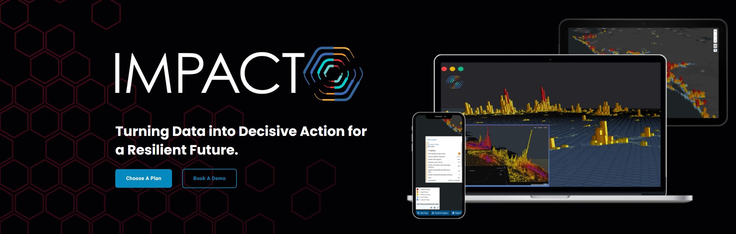
IMPACT, standing for Incident Management, Prioritization, Alerting, and Coordination Tool, is a comprehensive solution for emergency management operations. It supports every phase of disaster response, from preparation to recovery, leveraging a wide range of geospatial datasets. The platform’s unique ability to integrate satellite imagery, live geospatial data, and socioeconomic information provides agencies with a holistic view of the potential impacts of disasters.
How IMPACT Enhances Disaster Response and Recovery
The IMPACT platform is designed to facilitate informed decision-making during crises. Combining real-time data with predictive analytics helps agencies prioritize resource allocation, streamline response efforts, and enhance recovery strategies. One of its standout features is its alerting system, which notifies managing staff of incidents as they occur or are predicted, ensuring timely interventions. Learn more about IMPACT at NLT's website.
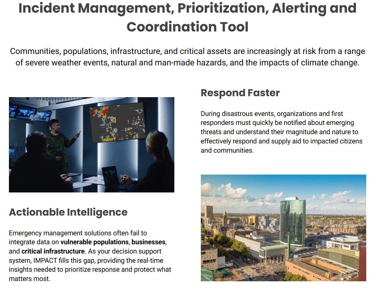
Several Emergency Management Agencies have already harnessed IMPACT’s capabilities to improve disaster response and resource prioritization. For instance, during hurricanes, agencies used IMPACT to rapidly identify vulnerable populations and critical infrastructure, enabling quicker and more targeted deployment of resources. The platform’s ability to turn complex data into actionable insights is a testament to its versatility and effectiveness in diverse scenarios.
The Role of Geospatial Data in Effective Incident Management
Geospatial data plays a pivotal role in the effectiveness of the IMPACT platform. IMPACT provides a comprehensive picture of the disaster landscape by integrating various imagery and live data feeds with additional datasets from providers like Census, NOAA, and YOUR DATA! This integration helps agencies understand the scope of an incident and identify the areas and populations most affected by the incident concerning their mission objectives for each incident they are dealing with in real time.
Moreover, IMPACT is adaptable beyond natural disasters like hurricanes, tornados, fires, and floods. It has been employed in scenarios like earthquakes and disease, monitoring customers' earthquakes and helping create heat maps to visualize mental health crises in affected regions. This flexibility underscores the platform’s potential to assist in managing various incidents, including man-made disasters and socio-economic challenges.
Visit NLT at Geo Week 2025: Booth Highlights and Demonstrations
Geo Week attendees can visit NLT at booth 507 to learn more about the IMPACT platform. At the booth, NLT will provide live demonstrations showcasing how IMPACT transforms data into critical insights for disaster management. Attendees will also have the chance to meet key members of the NLT team, including Chief Scientist Ran Goldblatt, Solutions Engineer Kari Primiano, and CEO Ghermay Araya.
This engaging experience offers a unique opportunity to get a deep dive into the current and planned capabilities of IMPACT in action and understand how it can be tailored to meet specific organizational needs. Whether you're interested in standardized solutions or customized offerings, NLT’s team is ready to discuss how IMPACT can revolutionize your approach to incident management. For more details about Geo Week and NLT’s participation, visit the Geo Week website.