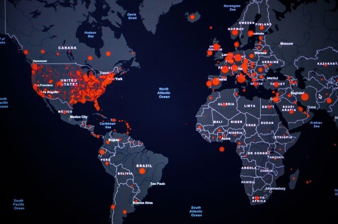
The idea of mapping diseases spatially to understand how they relate to the human and physical environment has a rich history of applications, going back to the pioneering work of John Snow, who in 1854 mapped the locations of cholera cases in London to identify its source around a pump at Broad Street. Since then, many studies have highlighted the complex inter-relationships between the physical environment and a wide breadth of health outcomes, including chronic health conditions (like obesity, cardiovascular diseases and pulmonary diseases), infectious diseases (such as the Zika virus, Malaria and Dengue fever), mental health conditions (e.g., depression, anxiety), as well as other risk factors that contribute to negative health outcomes (for example, aspects related to physical activity and social function). Additionally, satellite data is playing a key role in responding to public health crises, utilizing satellite imagery data to understand and respond to the COVID-19 pandemic.
Climate change is also directly related to public health. According to the World Health Organization (WHO), around one quarter of global deaths in 2015 and 28% of deaths among children under five were attributed to environmental factors such as air pollution, water and sanitation, heat waves and severe weather events. It is projected that between 2030 and 2050, climate change will cause approximately 250,000 additional deaths per year, from malnutrition, malaria, diarrhea and heat stress alone.
In the past, studies that looked at the link between the environment and public health relied primarily on in-situ measurements (for example, measurements of air quality) to quantify, monitor and model the impacts of the environment on human health. However, this approach is often expensive and requires access to the examined area, making its application across space and time limited.
On the other hand, many of the environmental and physical attributes associated with public health can be captured and quantified by means of remotely sensed Earth observations – including satellite imagery. Satellite technologies and digital image processing, which have become available since the 1960′s to 1970′s, are continuing to develop, and the remote sensing research landscape continues to constantly change as new and improved satellites for global environmental monitoring purposes are launched into space. These collect Earth measurements with synoptic coverage at a variety of spatial and temporal resolutions, allowing understanding of many aspects of Earth’s surface, water, and atmospheric systems, which in turn, can be related to public health. As of 2022, there are 5,465 operational satellites that orbit Earth, 23% of them are utilized for Earth and Space science and observations and 77% are for commercial or civil users. These satellites capture the electromagnetic radiation, or the amount of energy, emitted from objects on Earth, elucidating land use and land cover changes as well as approximating environmental and climatic conditions on the Earth’s surface. Such observations allow tracking important influences on people’s physical and mental health, as well as key indicators for disease mapping and epidemiology.
Today, remote sensing data and analytics can be used in various ways to support public health efforts, including:
- Disease surveillance: Monitoring the spread of infectious diseases by tracking physical factors that can contribute to their transmission, such as vegetation, the distribution and characteristics of land cover and land use, spatial patterns of the built environment, the distribution of the population, weather and climatological conditions among others.
- Environmental health: Identifying environmental factors that can impact public health, such as air and water pollution, exposure to toxic chemicals, and the availability of clean water and sanitation facilities.
- Food security: Monitoring aspects related to food security, such as crop health and production, helping policymakers and governments better understand the potential impacts of climate change and environmental factors on food security and malnutrition.
- Disaster response: Supporting the response efforts to natural and man-made disasters, which can have immense impacts on public health, including physical health and disease distribution.
For more than 5 years, New Light Technologies has been collaborating with leading universities in and outside the US to advance our scientific knowledge about the link between the environment and human health, leveraging unique technologies and data sources that reveal Earth's characteristics in close to real time. By intersecting measurements from Earth with public health records, we are now able to monitor many aspects of human health, better predict health outcomes and provide intelligence to policy makers that allow them to better respond to our changing world and ensure the health, wellbeing and resilience of the world's population.
Interested in learning more about NLT`s work in the field of public health? Contact us at RS@nltgis.com
About New Light Technologies
New Light Technologies Inc. (NLT) is a leading provider of integrated science, technology, and mission services based in Washington DC. Offering renowned expertise in cloud, agile software development, cybersecurity, data science, geospatial and remote sensing, NLT provides comprehensive consulting, research, digital transformation services, and fit-for-purpose analytics solutions for a range of industries from emergency management to economics to health. The firm has pioneered real-time geospatial AI/ML predictive analytics platforms for government and industry and led the development of novel methods for leveraging satellite imagery to support disaster response, climate resiliency, impact evaluation, and sustainable development missions worldwide. To learn more visit us at www.newlighttechnologies.com